


H
Azilal
A mountain town in the Central High Atlas, it serves as a gateway to the Ouzoud Waterfalls, the Aït Bougmaz Valley, and Lake Ben El Ouidan, and is ideal for nature lovers, hikers, and those who enjoy mountain villages.




About the city
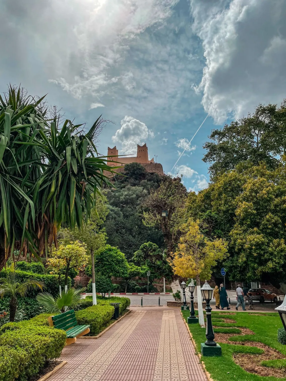
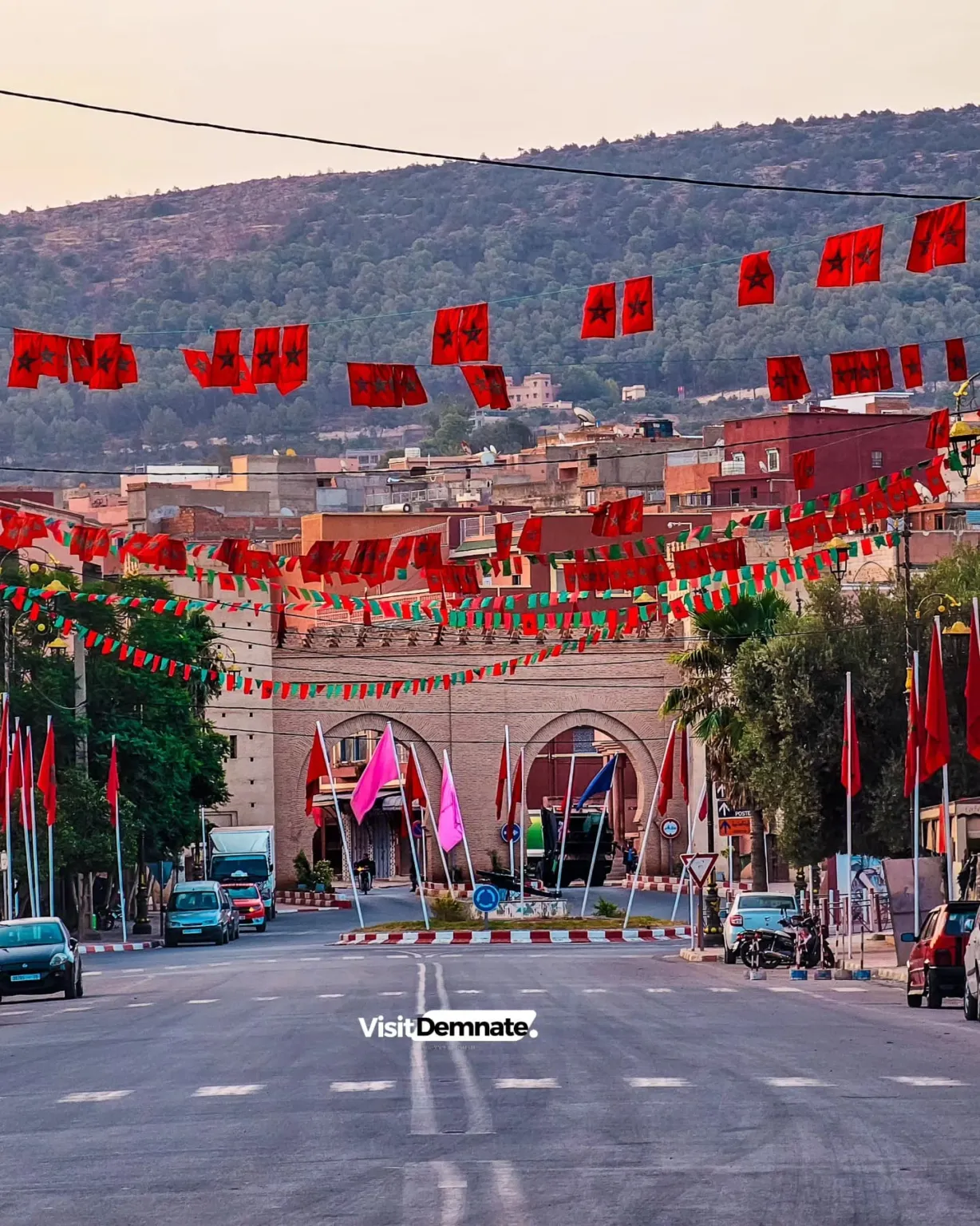
Azilal is a mountain town located in the heart of the Central High Atlas and serves as a gateway to some of the region’s most famous natural landscapes. It is surrounded by Amazigh villages, valleys, plateaus, and highlands, and its regional area includes the Ouzoud Waterfalls, the Aït Bougmaz Valley, the Mekoun Geopark, and Lake Ben El Oued.
The town itself is quiet and unassuming, and its main appeal lies in its location among these natural attractions. The trip requires careful transportation planning because the distances between sites are considerable and the roads are mountainous, but it’s ideal for those who want to experience Morocco’s natural beauty away from the major cities.
Getting around
Traveling between Azilal and the mountainous areas requires a car, a large taxi, or an organized tour. Within the city, you can get around on foot or by local taxi.
Best time to visit
From April to June and from September to October
Suggested stay
2 to 4 days
Getting there
Azilal Bus Station; Travelers typically arrive by land from Marrakech or Beni Mellal
Local tips
Set aside more than one day if you want to visit both Ouzoud and Ait Bougmaz.
Mountain roads take longer to travel than the distance shown on the map.
Pack clothes suitable for changing temperatures.
Start your mountain hikes early and use a guidebook for long trails.
Please respect private villages and agricultural areas while filming.
Places the city is known for
A selection of the best places to discover during your visit.

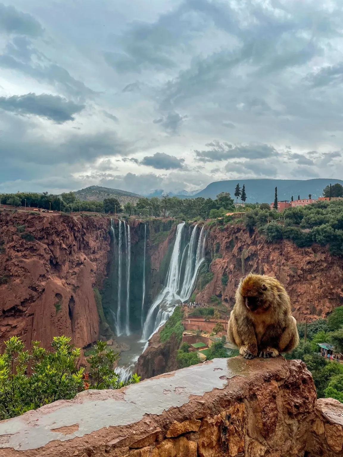
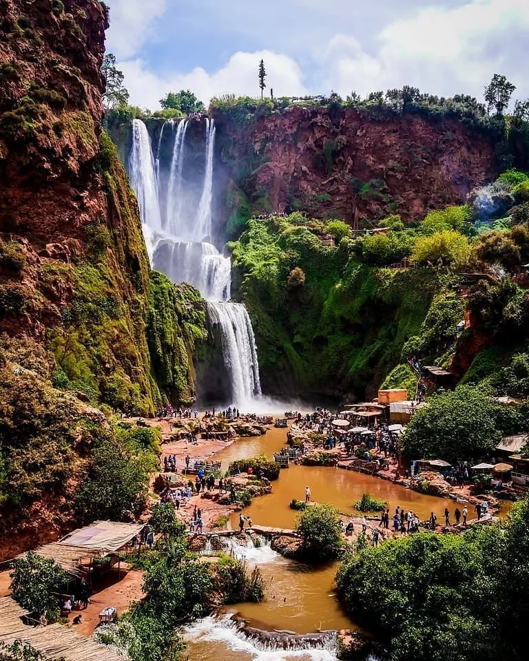
Ouzoud Waterfalls
Famous waterfalls cascade down several levels within a green valley.
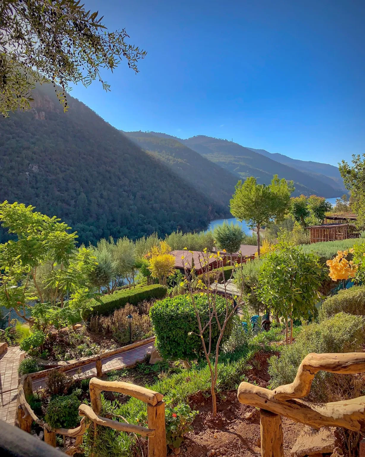
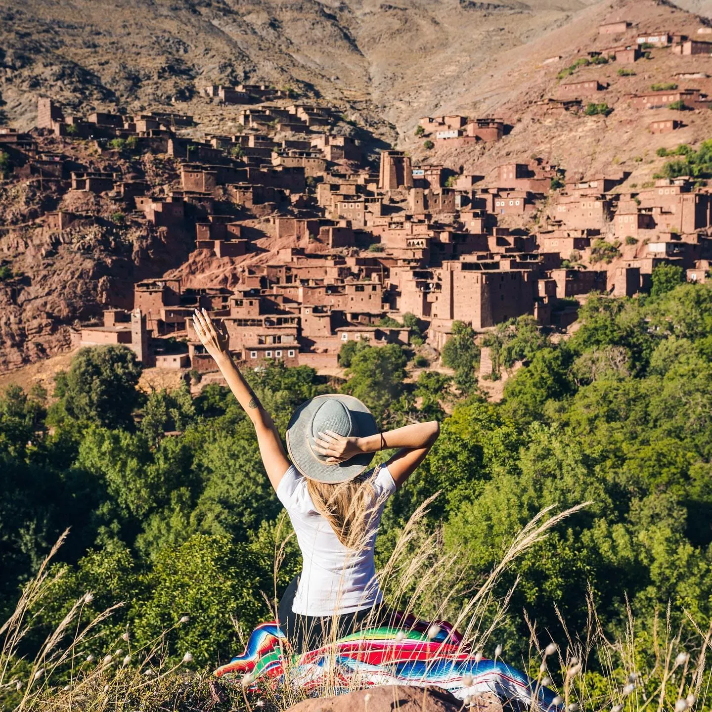
Aït Bogmaz Valley
A lush mountain valley known as the Valley of Happiness, dotted with Amazigh villages and hiking trails.
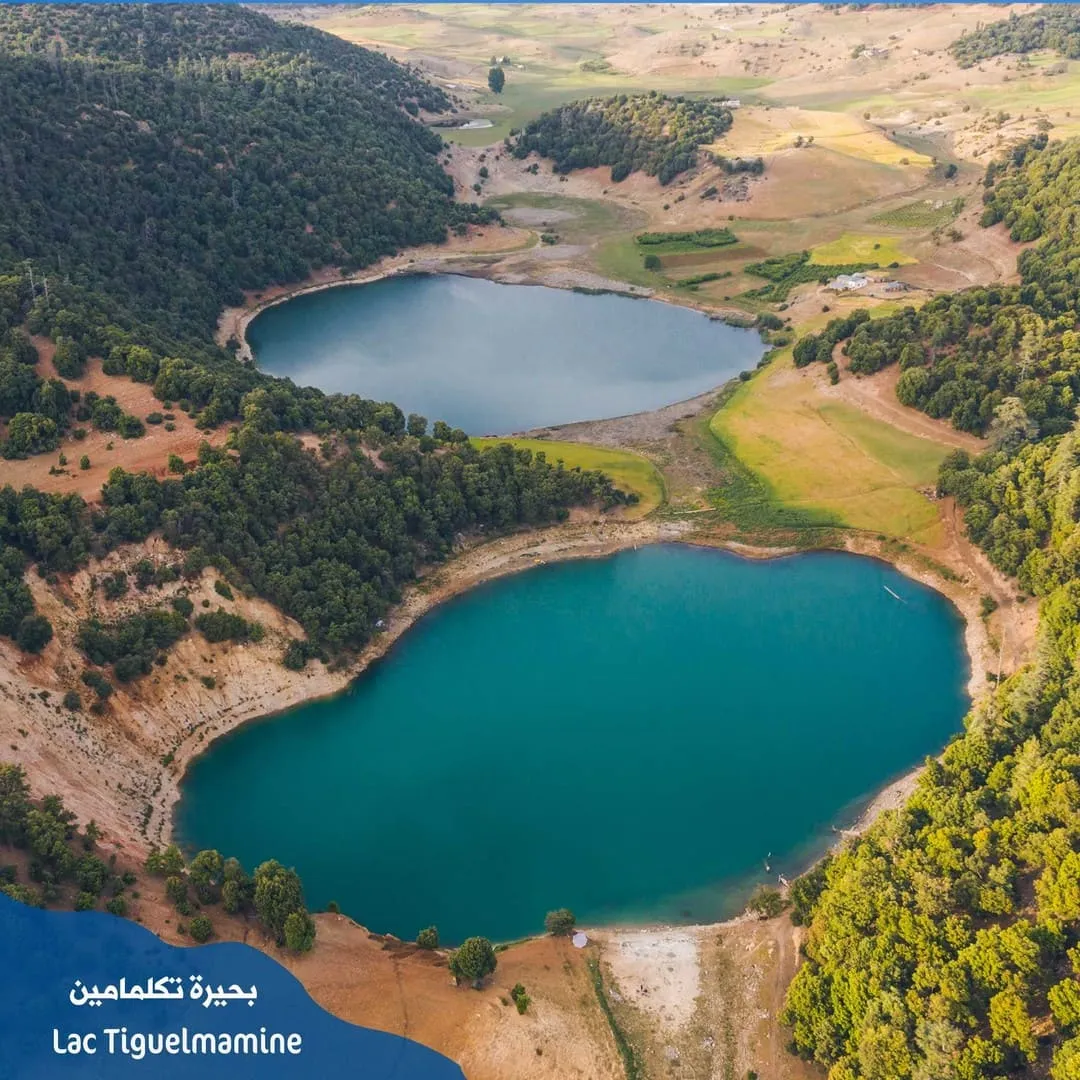
Lake Between the Two Valleys
A large lake nestled among the mountains, famous for its scenery and water activities.
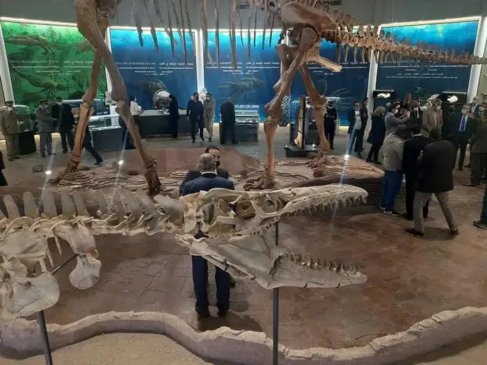
Geopark Components
A vast geological area designated as part of the UNESCO network, featuring a variety of mountains and valleys.
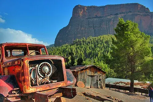
Imsefran Cathedral
A massive rock formation known as the "Cathedral of Rocks" set amid a distinctive natural landscape.
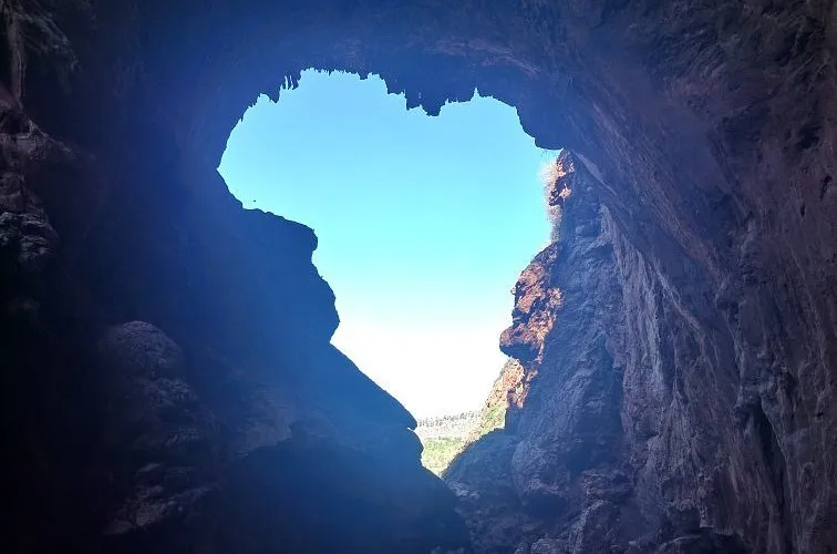
The Imen Efri Natural Bridge
A large natural rock arch near Damanat, featuring walking trails and views of the valley.
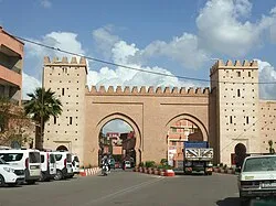
Damanat
An ancient city in the region with traditional neighborhoods and proximity to geological and natural sites.
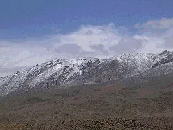
Makon Summit
One of the highest peaks in the High Atlas and a popular destination for mountain hikes.
H
Share your thoughts on this city
Had an experience in this city? Tell us what you loved and what you would recommend to travelers, and suggest any place worth adding to our guide after review.
Share your thoughts on this city
Been there? Tell us how you found it.